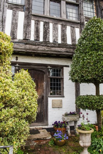
The origins of the village name are uncertain, but it may come from the Saxon word for an apple tree. The Danes certainly knew Appledore, for they landed here in AD 892 to launch an invasion of England. The French did the same in 1380 when they burned the village and destroyed the church.
In the following year, the men of Appledore joined the Peasant's Revolt, and broke into Horne's Place manor house, stealing 10 pounds worth of goods. Appledore also joined Jack Cade's Revolt in 1450.

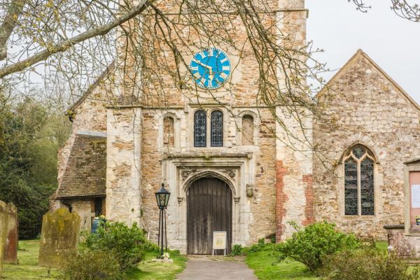
St Peter and St Paul Church
Appledore's church dates to the 13th century. The oldest parts of the building are the north chapel and west tower, the only parts of the building to escape damage during the French raid of 1380.
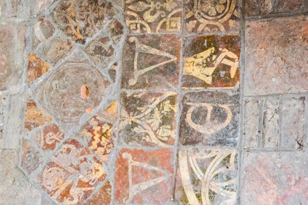
The remainder of the church was so badly damaged by the French that it had to be rebuilt. Some roof timbers survive, and there is a very fine 15th-century screen and medieval floor tiles. You can still see fire marks on the tower arch.
The font is later than the rebuilding; probably 15th century. In front of the altar is buried Sir Philip Chute, standard-bearer to Henry VIII. In the churchyard are 18th-century gravestones and chest tombs.

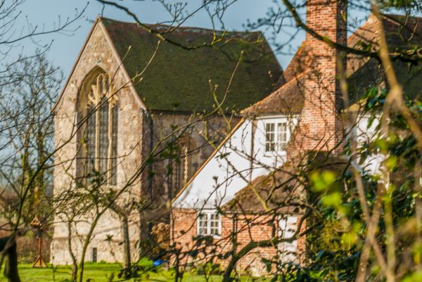
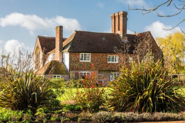
Horne's Place Chapel
Attached to the manor of Horne's Place, outside the main village, is a late 14th-century chapel, now in the care of English Heritage. The chapel stands on a vaulted cellar, with a well set into the cellar floor. The best feature is the ornate east window, but there is also a timber roof built around 1520. It is rare to find a private chapel from the medieval period, so Horne's Place is unusual, if not totally unique.
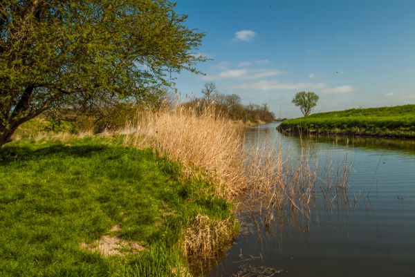
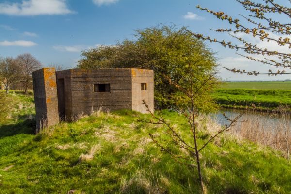
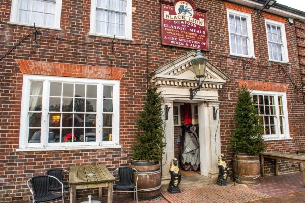
There are very enjoyable footpaths along the Royal Military Canal, where you can see pillboxes built during the World Wars. If you fancy some refreshment after walking along the canal there are 3 pubs in the village; the Crown, the Black Lion, and the Ferry Inn.
Don't confuse this Appledore with the Appledore in Devon!
 We've 'tagged' this attraction information to help you find related historic attractions and learn more about major time periods mentioned.