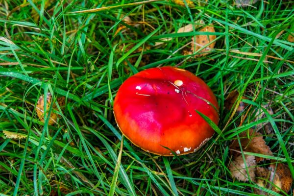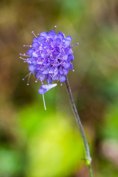
Fourteen varieties of butterfly have been seen on Craigower, with star species including the Scotch Argus and Green Hairstreak. In summer the Scotch Argus appear in great clouds on sunny days.
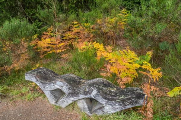
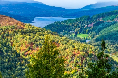
Craigower stands 1335 feet high (407 metres) and views from the summit are fantastic. On a clear day you can see as far as Glencoe to the west, and look out over Loch Rannoch and Loch Tunnel closer at hand. Visit in autumn and you will see great swaths of the forest alive with vibrant colours.

Getting There
Craigower can be reached on foot by a signposted trail from Pitlochry, a round trip of 6 miles, or from Craigower car park, a much shorter 3-mile trip.
Finding the car park, however, isn't straightforward as there are no signs until you are almost on top of the parking area. Here's how to get there:
From the A94 (Atholl Road) at the eastern edge of Pitlochry turn right onto East Moulin Road. The turning is signposted 'Hotels'. Follow East Moulin Road uphill, past its junction with West Moulin Road. You will come to Kirkmichael Road, with the Moulin Heritage Centre on your right and the Moulin Hotel on your left.
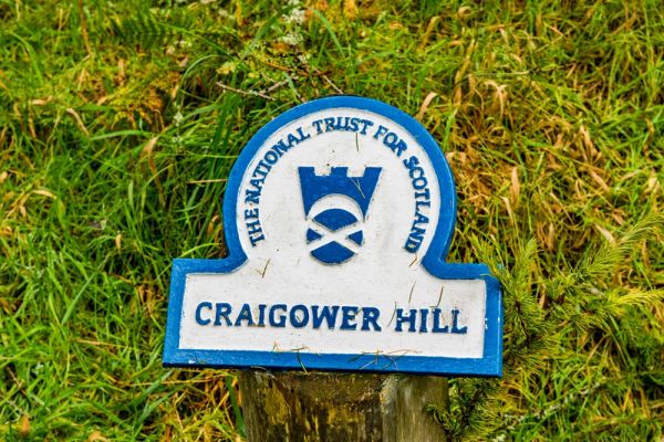
Go past the hotel and take the first left, then left again onto Craiglunie Road. Follow this narrow lane west until you come to a small National Trust for Scotland parking area on your left, at Balnacraig Cottage, immediately before you reach the golf course.

There is a signpost at the golf course entrance which is very confusing. It appears to point uphill, along the edge of the course. Don't be deceived; what you want to do is carry straight on, following the very obvious cart path leading straight through the golf course and angling uphill. Be aware of golfers and stray balls!
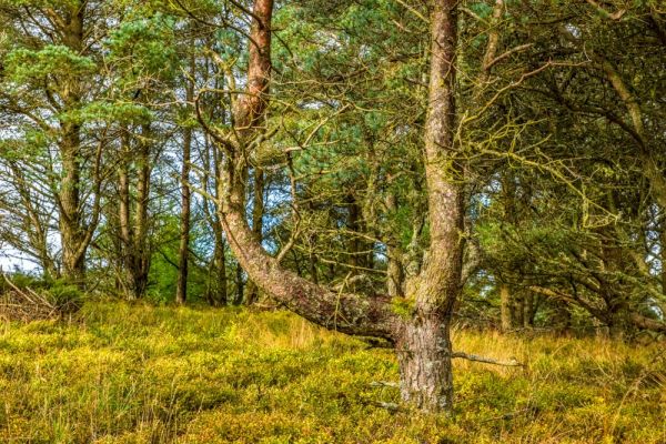
The path ends at a gate that takes you safely outside the golf course. The trail skirts along the course briefly before turning uphill once more and heading up through woodland. You will reach a wide forestry road after 10-15 minutes.
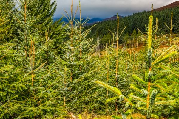
It is easy to misplace the path here, but you should be able to spot a signpost to your left that points to the final section of the trail leading uphill to the summit of Craigower. As you go you will catch glimpses of a harvested forestry plantation to your right.
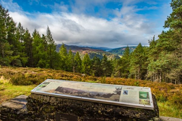
Eventually you will emerge into a cleared area at the summit of Craigower. There are wide-reaching views from both sides of the summit but the best view is looking west over Loch Tay and Loch Rannoch. Here you will find a National Trust for Scotland information panel explaining what you can see on the horizon, and giving details about the woodland and the animals, birds, insects and plants that thrive here.
The Hibernaculum
Near the information panel is a fenced area where the NTS has established a Hibernaculum, a refuge for reptiles including the adder, slow worm and common lizard. The hibernaculum consists of a network of underground chambers where reptiles can hibernate during the coldest months of the year.
Since this 'hotel for reptiles' is underground there is very little to see above the surface, though the hibernaculum is intended to provide a space for reptiles to bask in the summer sun at warmer times of the year.

You have two choices for returning from the top of Craigower. You can retrace your steps to the Balnacraig parking area, or you can follow the Dunmore Trail, which heads down the north slope of Craigower before turning east, where it connects with a forestry road that runs through open plantations in a large loop before reconnecting with the Craigower Trail on the southern slope of the hill. We took this route, and though it was certainly pretty, and offered wider views than the Craigower Trail, it wasn't as pleasant as walking through the forests.