The Dyke stretches 4km (about 2.5 miles) from north to south, enclosing a total area of about 5 square miles, and includes the most northerly outcropping of coastal chalk in Britain.
It was probably topped with a wooden palisade fence and would originally have created a seriously strong defensive barrier to anyone approaching the headland from the west. The scale of the construction compares with more famous (albeit much longer) ditch and bank fortifications like Offa's Dyke on the Welsh border.
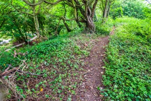
At the southern end of Danes Dyke is a nature reserve and parking areas giving access to a network of footpaths. These trails allow visitors to reach the shore, where there is a pebble beach with moderately high chalk cliffs. Other paths lead along the course of the Dyke, and through the wooded countryside on either side.
Further paths lead from the parking area in either direction along the clifftops, towards Bridlington to the west or towards South Landing and Flamborough to the east. I can particularly recommend the clifftop trail to South Landing; this gives wonderful views along the coast and is an exhilarating walk on a sunny day.
There is a good exhibition about the Dyke and the surrounding area in the local museum at Sewerby Hall.

 We've 'tagged' this attraction information to help you find related historic attractions and learn more about major time periods mentioned.