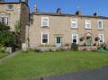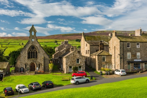
Reeth is an attractive village at the junction of Swaledale and Arkengarthdale in the heart of the Yorkshire Dales National Park. The stunning location in a bowl of hills makes Reeth one of the most picturesque villages in the Dales and a haven for walkers and cyclists exploring the National Park.
History
The name 'Reeth' may come from an Old English word for a 'rough place'. It may have served as the boundary of a 7th-century regional kingdom. Reeth was not always accessible due to flooding of the River Swale. Access problems were not solved until 1547 when a local man named Jeffrey Charder bequeathed 20 shillings to build a bridge at Grinton.
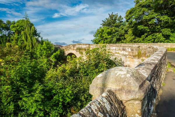
In the late 18th century the architect John Carr of York, better known for his stately homes, was called in to design the bridge across Arkle Beck that still carries the B6270 main road.
Today Reeth is considered the 'Capital of Swaledale' but one thousand years ago the neighbouring village of Grinton was much the larger community. Grinton had a church and burial ground, the only ones in upper Swaledale, while Reeth was just a scattering of cottages.

It was not until the growth of lead mining in the area during the 18th century that Reeth began to grow. One of the men responsible was Philip, Lord Wharton, who began to develop lead and coal mines in the late 17th century and obtained a market charter for Reeth in 1695.
Wharton was a Dissenter and helped support other Nonconformists, hiring Dissenters as mine managers and helping build chapels. Wharton's influence made Swaledale a centre for Nonconformist worship.
By the 19th century, the Reeth area produced around 10% of the nation's lead ore. The village's location at the meeting of roads up Arkengarthdale and Swaledale made it a perfect centre for the mining industry.

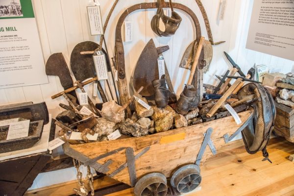
You can learn more about lead mining and traditional rural life in the ara at the Swaledale Museum on The Green. This delightful little museum is housed in the former Methodist Day School, built in 1836, and boasts a wealth of information on life in Swaledale over the centuries. See lead mining tools, traditional rural crafts, and learn about the real-life characters that made Swaledale their home.
National Park Centre
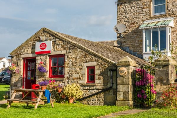
Occupying a corner of the large square in the centre of Reeth is the Hudson House Community Information Centre, the home of the Yorkshire Dales National Park centre. The Centre has a wealth of information for visitors to the National Park, from walking routes, mountain biking, and cycling to local crafts and artisans.

Learn about the history of Swaledale and the surrounding dales, and pick up guidebooks, maps, leaflets, and outdoor clothing. The Centre's friendly staff can help you find accommodation and give information on public transportation.
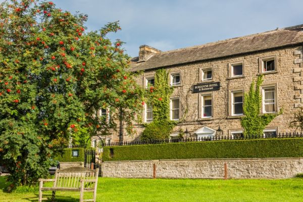
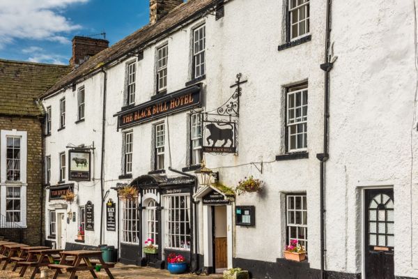
Ringing the village green are several historic hostelries including the Black Bull Inn, built to serve travellers in 1680, long before Reeth was a centre of the lead mining industry. A century later in 1780, the nearby Buck Hotel was erected as a traditional coaching inn. There are also several excellent tea rooms and cafes around the green.
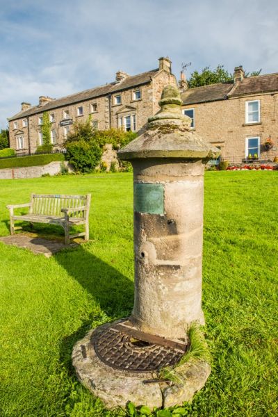
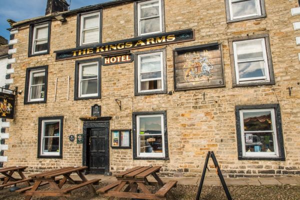
The green has served as a market place for the last 300 years and is ringed with attractive 18th and 19th-century buildings, many of them listed for their heritage value. on the west side of the green is the King's Arms, dating to 1734.

On the opposite side of the River Swale is Maiden Castle, an earthwork enclosure dating to the Iron age. Nearby earthworks date to the Roman era.
Getting There
There is ample parking around the edges of the large village green. Reeth can also be easily reached by bus from Richmond.
More Photos
About Reeth
Address: B6270,
Reeth,
Yorkshire Dales,
Yorkshire,
England
Attraction Type: Village
Location: On the B6270, 10 miles west of Richmond. Parking around the village green.
Website: Reeth
Location map
OS: SE038993
Photo Credit: David Ross and Britain Express
NEARBY HISTORIC ATTRACTIONS
Heritage Rated from 1- 5 (low to exceptional) on historic interest
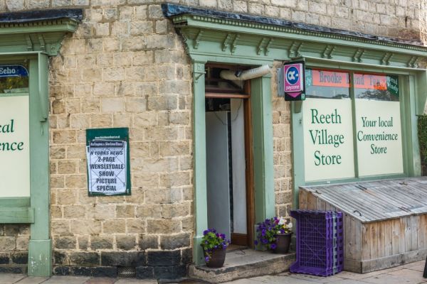
Swaledale Museum - 0.1 miles (Museum) ![]()
Bolton Castle - 4.6 miles (Castle) ![]()
Castle Bolton, St Oswald's Church - 4.6 miles (Historic Church) ![]()
Aysgarth, St Andrew's Church - 6.9 miles (Historic Church) ![]()
Wensley, Holy Trinity Church - 6.9 miles (Historic Church) ![]()
Hudswell Woods - 7.2 miles (Countryside) ![]()
Askrigg, St Oswald's Church - 7.7 miles (Historic Church) ![]()
Mill Gill Force Waterfall - 7.9 miles (Countryside) ![]()