Direct from
Ordnance Survey
Ordnance Survey
Waterproof and paper maps available
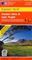
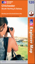
The following Ordnance Survey maps cover the Isle of Skye:
Explorer maps
(1: 25,000): best for walking
EX411 Cuilins
EX412 Sleat
EX409 Raasay Rona & Scalpay
EX408 Trotternish
EX410 Portree & Bracadale
EX407 Dunvegan
Britain Express has partnered directly with Ordnance Survey, the official UK mapping agency. You can purchase normal paper maps or special 'activity maps', digital maps, or, our favourite, personalised maps centred on any point you choose.
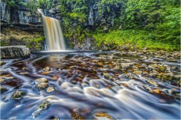
Best of Britain Express Art Prints