Roman sites in Wales
Aberffraw Roman Fort - Usk Roman Fortress
About the Gazetteer
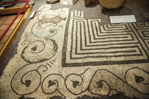
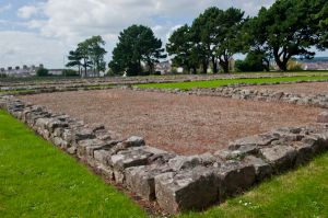
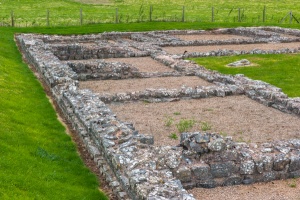
The Roman presence in Wales was not as comprehensive as that in England; the invaders found the mountainous terrain difficult, and the native tribes equally so. Nevertheless, there are several very well preserved Roman sites in Wales, most notably in the south east and north. Here you will find a listing of the major Roman sites. Where possible we've tried to provide map links to help you pinpoint the locations, some of which can be awkward to find with a good OS map! These sites can also be browsed by region.
Featured Roman Site

Roman Sites Menu
 Roman Britain A-Z Gazetteers
England | Wales
History
The Roman Invasion of Wales
Early Roman Wales (c70AD - 200AD)
Late Roman Wales (c200 - 400AD)
Post Roman Wales
Our Favourites
Most Popular
Attraction search