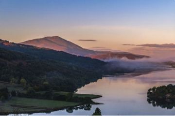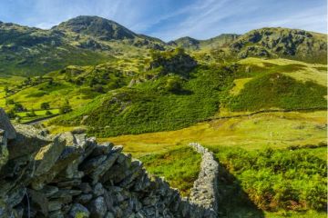
Basically a huge sandstone plateau split by deep coombes, or wooded valleys, Exmoor is home to some of the most varied and beautiful scenery in England. The moors contain large deposits of peat, which form bogs due to the high rainfall. Mist and fog can descend very quickly in Exmoor, so a compass is a must for walkers. The peat moors give way to heather uplands, replete with a variety of grasses and plants, such as gorse and whortleberry.
Wild Exmoor ponies still graze here side by side with red deer, the largest of England's native animals. The lush green coombes, dominated by oak woods, are home to a variety of birdlife, such as grey wagtails, kestrels, buzzards and ring ouzels.
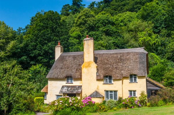
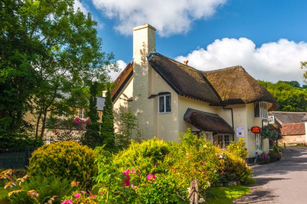
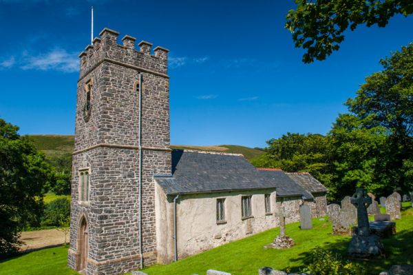
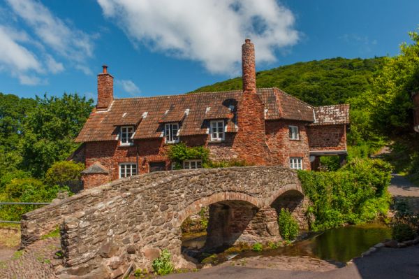
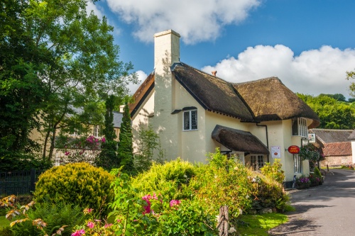
The National Trust owns large portions of Exmoor, notably the Holnicote estate, containing Dunkerry Beacon, the highest point in Exmoor. There are over 100 miles of walking paths within the vast (12, 500 acres) estate. The Trust publishes a leaflet detailing 14 walks around Dunkerry. Pretty villages dot the Park, such as Dunster and Selworthy, a favourite of postcard and calendar photographers.

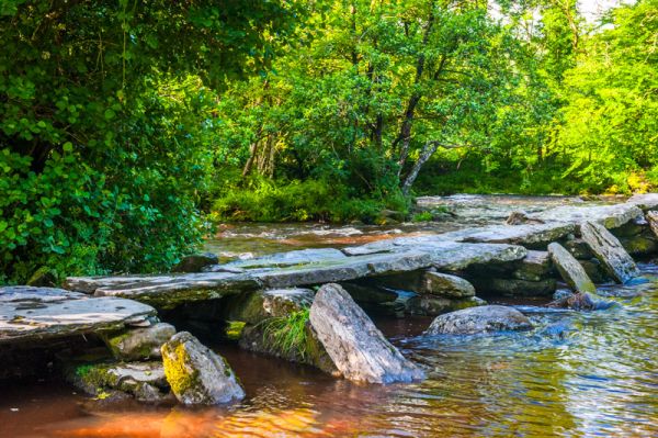
Exmoor is also home to Lorna Doone, the fictional heroine of Victorian author R.D.Blackmore. Blackmore's descriptions of the scenery are so precise that even today it is easy to recognise many of the sites described in his book. The village of Malmstead is a good jumping-off place for visiting "Doone country", and Oare contains the church where Blackmore had Lorna and hero John Ridd marry.
What you'll see:
Densely wooded valleys, heather-covered uplands, steep coombes, wild ponies and red deer, lovely villages.
Badgeworthy Water (Lorna Doone country)
Bronze Age barrows at The Chains (near Simonsbath)
Dunkerry Beacon (great views)
Dunster Castle
National Trust's Holnicote Estate
Ordnance Survey maps covering Exmoor:
Explorer OS maps (Scale: 4cm = 1 km / 1: 25000) - best for walking
EX009 Exmoor
Landranger OS maps (Scale: 2cm = 1km / 1: 50000)
LR180 BARNSTAPLE/ILFRACOMBE - LR181 MINEHEAD & BRENDON HILLS
Contact
Exmoor National Park
Exmoor House
Dulverton
Somerset
TA22 9H
More Photos