The Pembrokeshire Coast National Park consists of a gently rolling plateau overlooking a rugged coastline. This is good birding area, with sanctuaries at Grasholm, Skomer, and Skokholm Islands, while Ramsey Island is renowned for its large grey seal population. Ancient remains abound in the park, with cromlechs (burial chambers) at Pentre Ifan and Arthur's Quoit, and Celtic crosses at Nevern and Crew.
Many areas of the south coast are reserved for walkers, with only foot access allowed. For a real treat, try the steep climb down the cliffside to St Govan's Chapel near Bosherton. The chapel is an amazing medieval relic clinging to the rugged rocks of the cliff.
What to see:
Bosherton Lakes - famous for its freshwater pools, home to lilies which bloom in June.
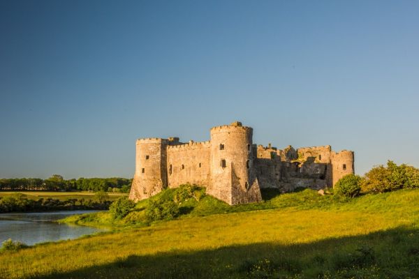
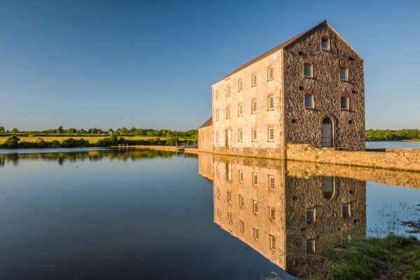
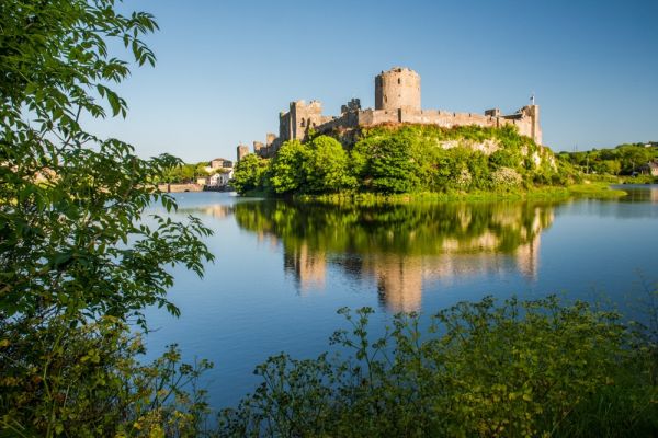
Carew Castle - a 14th-century castle in a beautiful setting near Milford Haven, where you can also see a restored tidal mill.
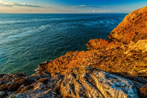
Green Bridge of Wales - spectacular natural sea arch
Manorbier Castle - the birthplace of the medieval chronicler Geraldus Cambrensis
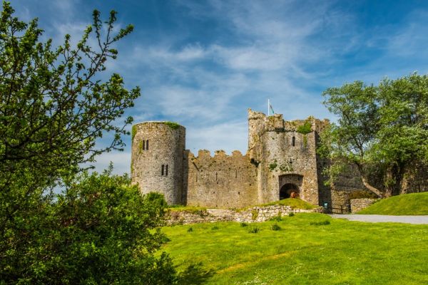
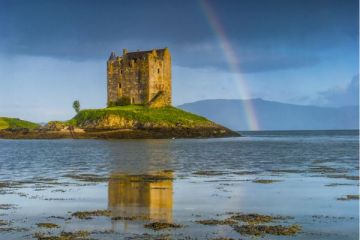
Pembroke - historic town with its picturesque moated castle
Pembrokeshire Coast Path - 167 miles from St Dogmael's to Amroth. Blessed with spectacular coastal scenery.
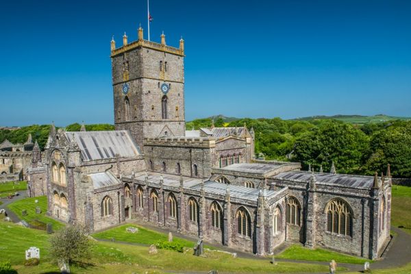
St David's Cathedral - dedicated to the patron saint of Wales. Famous for its sloping floor, quite apart from the lovely architecture.
Tenby - a pretty coastal town with regular boat trips to Caldey Island
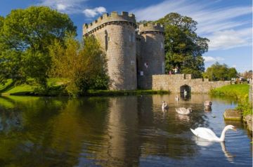
Wiston Castle - Norman castle inside an Iron Age earthwork

Ordnance Survey maps covering the Pembrokeshire Coast National Park:
Explorer OS maps
(Scale: 4cm = 1 km / 1: 25000) - best for walking
EX036 South Pembrokeshire
EX035 North Pembrokeshire
Landranger OS maps
(Scale: 2cm = 1km / 1: 50000)
LR158 Tenby & Pembroke
LR157 St David's & Haverfordwest
LR145 Cardigan & Mynydd Preseli
Pembrokeshire Coast National Park Authority
Llanion Park
Pembroke Dock
Pembrokeshire
Wales
UK
SA72 6DY
Email: info@pembrokeshirecoast.org.uk
Website: www.pembrokeshirecoast.org.uk/
More Photos