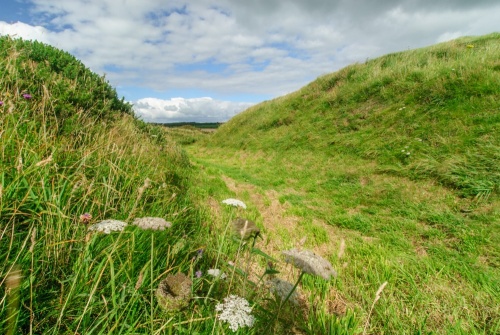
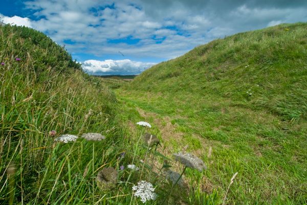
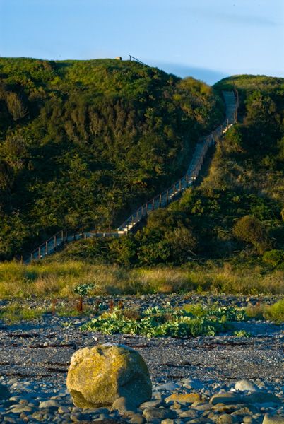
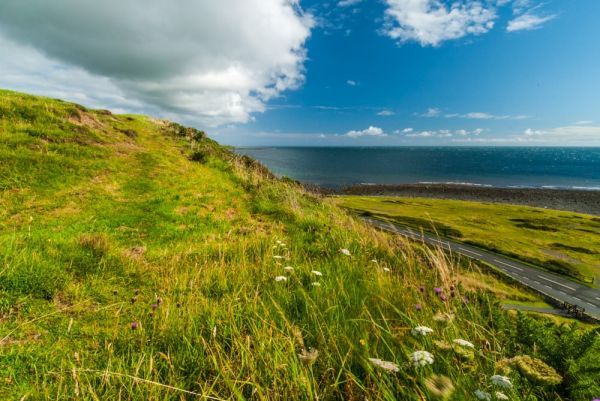
Barsalloch Fort is an Iron Age promontory fort looking south to the Isle of Man. The fort is defended on the landward side by a deep ditch between a pair of banks, and by the natural slope of the land on the seaward side.
The ditch encloses an area about 42 metres x 44 metres and is a roughly D-shaped space. The ditch itself is about 3.5 metres deep, up to 10 metres wide, with the banks adding another 1.1 metres to the defences. The entrance is not immediately apparent due to the effects of later farming but may have been at the north-east corner, on the lowest point of the headland.
What was it used for?
The Barsalloch promontory was probably used as a simple farmstead and occupied by a local tribe known to the Romans as the Novantae. And that is about all we know of them; one single reference in Claudius Ptolemy's 'Geography', published in AD 150 in Alexandria.
The fact that the site was furnished with defences suggests that it was the home of a tribal chieftain. There is room for several round-houses within the enclosure, providing living quarters for an extended family unit.
There are few remains visible within the earthworks, and the real appeal of Bardsalloch is the wonderful location, with views to the Isle of Man and across to the coast of Northern Ireland.
More Photos

About Barsalloch Fort
Address: Monreith, Dumfries and Galloway, Scotland
Attraction Type: Prehistoric Site
Location: On the promontory overlooking Barsalloch Point, one mile or so west of Monreith on the A747.
Website: Barsalloch Fort
Historic Scotland
Location map
OS: NX347412
Photo Credit: David Ross and Britain Express
Opening Details: Open access site, usually accessible at any reasonable time
HERITAGE
 We've 'tagged' this attraction information to help you find related historic attractions
and learn more about major time periods mentioned.
We've 'tagged' this attraction information to help you find related historic attractions
and learn more about major time periods mentioned.
Historic Time Periods:
Find other attractions tagged with:
Iron Age (Architecture) - promontory fort (Historical Reference) - Roman (Time Period)
NEARBY HISTORIC ATTRACTIONS
Heritage Rated from 1- 5 (low to exceptional) on historic interest
Drumtroddan Standing Stones - 2.2 miles (Prehistoric Site) 
Drumtroddan Cup and Ring Marked Rocks - 2.4 miles (Prehistoric Site)
Druchtag Motte - 3.4 miles (Castle)
Rispain Camp - 5.2 miles (Prehistoric Site)
Barhobble Church - 5.6 miles (Historic Church) 
St Ninian's Cave - 5.7 miles (Countryside)
Whithorn Priory - 6 miles (Abbey)
Whithorn Museum - 6.1 miles (Museum)
Nearest Holiday Cottages to Barsalloch Fort:
Port William, Dumfries and Galloway
Sleeps: 3
Stay from:£303 - £1,408

Whithorn, Dumfries and Galloway
Sleeps: 17
Stay from:£2,088 - £8,198