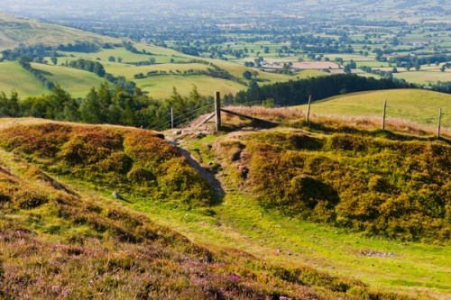
The hillfort of Penycloddiau was built around 500 BCE, encircling the summit of one of the most prominent peaks in the Clwydian Range. Near the summit is a Bronze Age burial mound, built around 2000 BCE. The hillfort is the largest of several forts built along the highest peaks in the Range, and one of the largest in all of Wales.
That statement might not sound terribly exciting, but when I first climbed up to Penycloddiau my initial thoughts were along the lines of 'My gosh, this place is huge!'
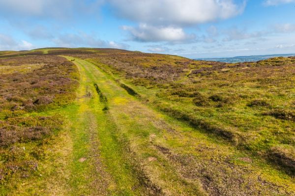
Which it is. The entire sloping hilltop is encircled by broad banks and ditches. On the steep southern slope there is a single rampart but to the north, where the slope is less daunting, there are several layers of defensive ditches and banks.
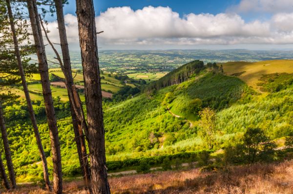
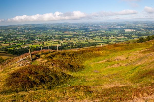
As defences go it is not a site that would strike fear into the hearts of an attacking army (though the climb to the summit might put them off), but it is certainly impressive. And my goodness, the views! On a fine day, the views in all directions from inside the fort are simply stunning.
West are the peaks of Snowdonia, while to the north is the wide expanse of the Dee estuary, while closer at hand to the south is the neighbouring peak of Moel Arthur, where you will find a smaller hillfort.
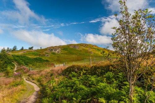
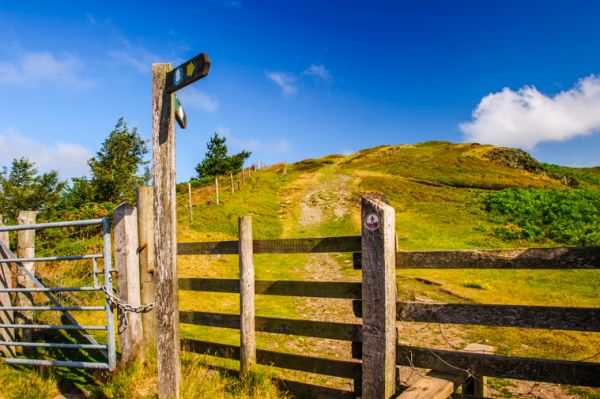
Offa's Dyke Trail runs right through the hillfort, but there are other trails connecting to it so you can easily make a circular walk to take in Penycloddiau. The closest option is to use the parking area on the minor road that joins Nannerch and Llandrynog. It's not terribly well signposted, but if you see the Offa's Dyke Way signpost beside the road, you're there!
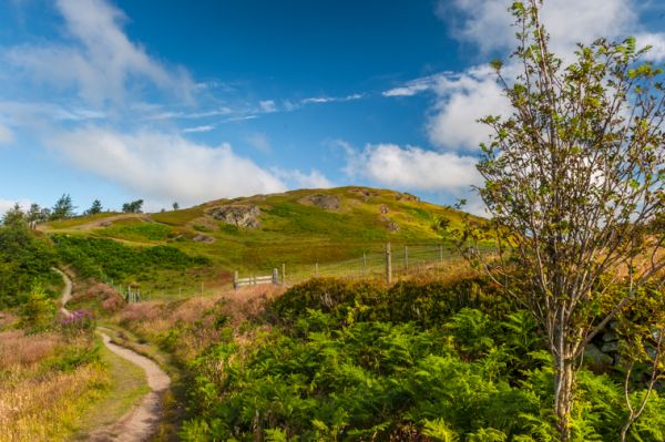
The path is not terribly steep and should take a reasonably fit person no more than 30 minutes at most. The way passes through open woodland before emerging at the base of the hillfort. You have to go over a stile, then simply follow the trail to the summit.
You can return the same way or follow the path to the south and west around the summit and return to the car park in a nice wide circle. Either way, it should take no more than an hour at most, and your reward for your exertion is wonderful views in all directions.
If you've still got energy left after ascending Penycloddiau, why not cross the minor road and follow Offa's Dyke Way to the hillfort of Moel Arthur. This is a shorter path, though the initial part is definitely steeper than the trail to Penycloddiau.
More Photos

About Penycloddiau Hill Fort
Address: Nannerch, Flintshire, Wales
Attraction Type: Prehistoric Site
Location: Access on a signed trail from a parking area on the minor road between Nannerch and Llandrynog
Website: Penycloddiau Hill Fort
Location map
OS: SJ128677
Photo Credit: David Ross and Britain Express
Opening Details: Open access site, usually accessible at any reasonable time
HERITAGE
 We've 'tagged' this attraction information to help you find related historic attractions
and learn more about major time periods mentioned.
We've 'tagged' this attraction information to help you find related historic attractions
and learn more about major time periods mentioned.
Find other attractions tagged with:
Bronze Age (Architecture) - hill fort (Historical Reference) - Iona (Place) - Offa (Person) - Snowdonia (Place)
NEARBY HISTORIC ATTRACTIONS
Heritage Rated from 1- 5 (low to exceptional) on historic interest
Moel Arthur Hill Fort - 1.5 miles (Prehistoric Site) 
Penbedw Stone Circle - 2.6 miles (Prehistoric Site)
Nannerch, St Michael's Church - 2.7 miles (Historic Church)
Denbigh, St Marcella Church - 3.7 miles (Historic Church)
Llanrhaeadr, St Dyfnog's Church and Holy Well - 4.1 miles (Historic Church) 
Brynbella Garden - 4.2 miles (Garden) 
Denbigh Friary - 4.4 miles (Abbey)
Denbigh, St Hilary's Chapel - 4.8 miles (Historic Building)
Nearest Holiday Cottages to Penycloddiau Hill Fort: