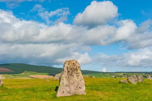
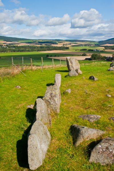
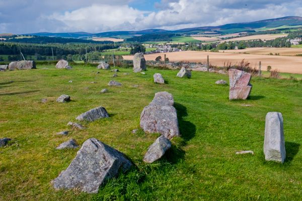
Tomnaverie is a fascinating stone circle - really a complex of circles - built around 2500 BCE. The first phase of building at Tomnaverie was the creation of a low platform of stone, with the height of the kerb increasing from one end to the other.
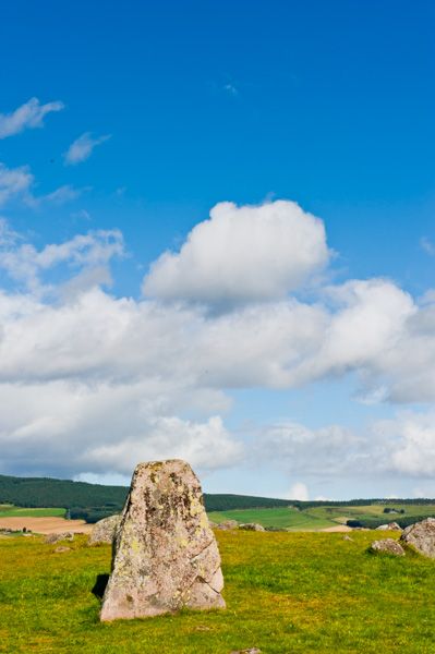
It is possible that this platform was created to emphasize the silhouette of the site against the skyline. There was burning at the centre of the platform, so archaeologists think it may have been used as a funeral pyre.
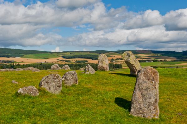
The second phase of building enclosed the area in a recumbent stone circle, with stones increasing in height towards the southwest, where a large recumbent stone was laid with two large upright flanking stones.
It is possible that the two flanking stones were set to create an alignment with the peak of Lochnagar, 20 miles distant. More likely is that the alignment was used to track the midsummer moon. Around 1000 BCE the circle was used for cremation burials.
Some of the stones were removed during quarrying in the early 20th century, but these were later replaced in their original locations after the circle came into crown hands.
Visiting
There is a signposted parking area off the road, and a gently sloping gravelled walk to the circle, a distance of only 200 yards or so. It is really incredibly easy to get to!
The views are wonderful; the hill isn't terribly high, but there is nothing blocking the view at all, so you get a full 360-degree panorama of the surrounding area. I found it intriguing to walk a bit down the slope of the hill and see how the stones aligned with distant features of the landscape.
The circle might easily have been situated so it stood out against the crown of the hill, and it is fun to speculate how it was seen in relation to the surrounding landscape. I wouldn't call Tomnaverie a stunning archaeological site, but it certainly is interesting, and worth a visit.
More Photos


About Tomnaverie Stone Circle
Address: Aboyne, Aberdeenshire, Scotland
Attraction Type: Prehistoric Site
Location: Off the B9094, near Mill of Wester Coull, 3 miles north west of Aboyne. Park along the B9094 (signposted) and follow the trail 200 metres to the circle.
Website: Tomnaverie Stone Circle
Historic Scotland
Location map
OS: NJ486 034
Photo Credit: David Ross and Britain Express
Opening Details: Open access site, usually accessible at any reasonable time
HERITAGE
 We've 'tagged' this attraction information to help you find related historic attractions
and learn more about major time periods mentioned.
We've 'tagged' this attraction information to help you find related historic attractions
and learn more about major time periods mentioned.
Find other attractions tagged with:
standing stone (Historical Reference) - stone circle (Historical Reference) - stone circle (Historical Reference)
NEARBY HISTORIC ATTRACTIONS
Heritage Rated from 1- 5 (low to exceptional) on historic interest
Culsh Earth-House - 1.7 miles (Prehistoric Site) ![]()
Old Kinord Ancient Village - 2.9 miles (Prehistoric Site) ![]()
Kinord Cross - 3.6 miles (Prehistoric Site) ![]()
Migvie Pictish Stone and Kirk - 3.7 miles (Prehistoric Site) ![]()
Burn O' Vat - 4.5 miles (Countryside) ![]()
Cambus O' May Suspension Bridge - 5.4 miles (Countryside) ![]()
Peel Ring of Lumphanan - 5.6 miles (Castle) ![]()
Craigievar Castle - 6.3 miles (Castle) ![]()
Nearest Holiday Cottages to Tomnaverie Stone Circle:
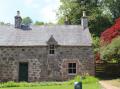
Craigievar Castle, Grampian
Sleeps: 4
Stay from:£349 - £1,065
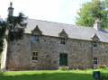
Craigievar Castle, Grampian
Sleeps: 6
Stay from:£515 - £1,772
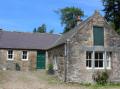
Craigievar Castle, Grampian
Sleeps: 4
Stay from:£487 - £1,480