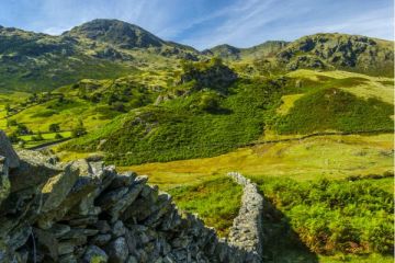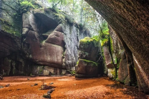
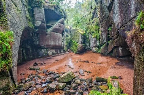
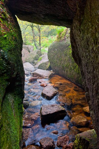
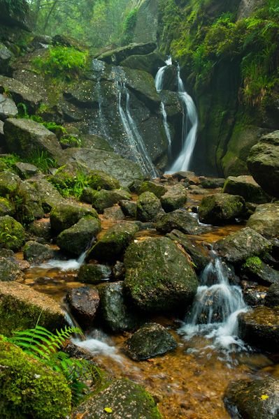
Burn O' Vat is a striking geological quirk, a deep bowl gouged from the surrounding rocks by the passage of water. The aptly named Vat Burn runs down from Culblean Hill on its way to Loch Kinord. Here, it tumbles down a very small waterfall and into an amphitheatre of rocks scooped out over millennia, before passing out through a narrow opening just wide enough to admit a moderately agile person.
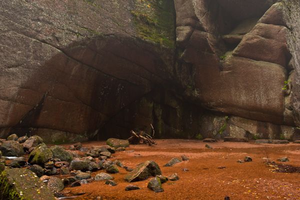
The bowl was formed by water melting at the end of the last ice age and forming a pothole in the soft rock. This pothole then gradually filled with sand to a depth of 5-7 metres, forming the soft bottom of the Vat as we see it today.
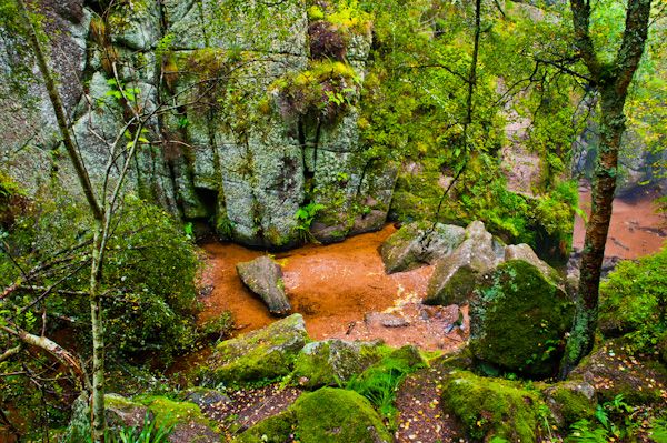
The Vat is some 18 metres side to side and about 13 metres top to bottom. The Vat has been popular as a scenic destination since Victorian times, but even before then, it was apparently used by outlaws hiding from their pursuers.
Getting There
You have two choices when visiting the Vat. You can simply follow the main path to the viewing platform that allows you to look down into the Vat or you can take the spur path that leads along the burn and through a narrow (1.5 feet wide) opening onto the floor of the Vat itself.
It is not in the slightest bit dangerous unless you do some daft scrambling on wet rocks! Personally, I would recommend getting right into the Vat; it isn't that hard - even Queen Victoria managed it.
If you plan on entering the Vat itself I would highly recommend wearing rubber boots, or at the very least, water-resistant footwear! The burn runs through the narrow opening to the Vat, and though the water is neither deep nor strong unless the rains have been extremely heavy, it is, after all, wet.
Visiting Burn O' Vat
The Burn O' Vat is located in the Muir of Dinnet nature reserve on the B9119, just north of the A93 Ballater to Aboyne road. There is a visitor centre and a parking area, with a large map board and small map leaflets available.
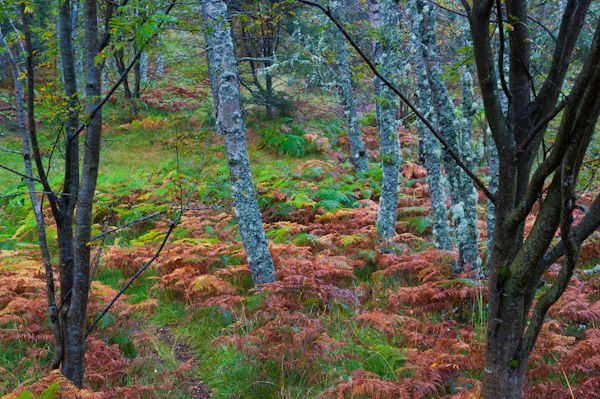
The map leaflets detail other walks on the nature reserve including a very nice 40-minute walk to an old Pictish cross-slab on the shore of Loch Kinord. In truth, the walk to the Vat is so easy and so well marked that you don't need the map unless you plan on combining your walk with one of the longer routes.
More Photos
About Burn O' Vat
Address: B9119, Ballater, Aberdeenshire, Scotland
Attraction Type: Countryside - Walk
Location: A short walk from the Muir of Dinnet visitor centre on the B9119 south of Davan and about 5 miles northeast of Ballater
Location map
OS: NO425995
Photo Credit: David Ross and Britain Express
Opening Details: Open access site, usually accessible at any reasonable time
HERITAGE
 We've 'tagged' this attraction information to help you find related historic attractions
and learn more about major time periods mentioned.
We've 'tagged' this attraction information to help you find related historic attractions
and learn more about major time periods mentioned.
Historic Time Periods:
Find other attractions tagged with:
Pictish (Architecture) - Pictish (Architecture) - Queen Victoria (Person) - Queen Victoria (Person) - Victorian (Time Period) - Victorian (Time Period)
NEARBY HISTORIC ATTRACTIONS
Heritage Rated from 1- 5 (low to exceptional) on historic interest
Kinord Cross - 1 miles (Prehistoric Site) ![]()
Cambus O' May Suspension Bridge - 1.2 miles (Countryside) ![]()
Old Kinord Ancient Village - 1.6 miles (Prehistoric Site) ![]()
Tullich Symbol Stone - 2.4 miles (Prehistoric Site) ![]()
Royal Deeside - 3.9 miles (Countryside) ![]()
Tomnaverie Stone Circle - 4.5 miles (Prehistoric Site) ![]()
Migvie Pictish Stone and Kirk - 4.6 miles (Prehistoric Site) ![]()
Culsh Earth-House - 6.2 miles (Prehistoric Site) ![]()
Nearest Holiday Cottages to Burn O' Vat: