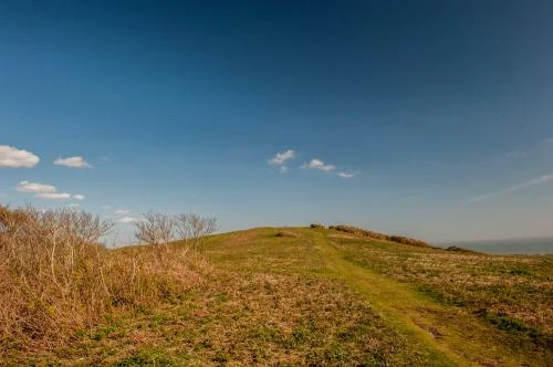
High on the downs of the National Trust's Mottistone Estate are the remains of an Iron Age enclosure, described by Historic England as a defended settlement but more commonly referred to as a hillfort.
Fact and Figures
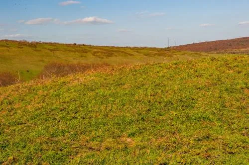
Castle Hill is roughly square in outline, measuring 55m long and 58m wide internally. The boundaries are defined by an earthwork bank roughly 0.3m high and 0.5m wide. Outside the bank is a ditch and a second, outer bank.
The ditch measures 0.5m deep and 5.75m wide, while the outer earthwork bank is 0.5m high and 10m wide. The eastern edge of the enclosure is defined by a field boundary.
The downland around Castle Hill shows evidence of grazing activity stretching back into the Iron Age and beyond, suggesting that the enclosure may not have been a settlement at all, bit may have served as a livestock enclosure.
The name 'Castle Hill' seems to be of relatively recent origin; the first recorded use of the name comes in an 1862 Ordnance Survey map. For many years the hillfort was obscured by a conifer plantation, but the trees were removed after violent storms in 1987 and 1991, returning the downland to grazing.
Sadly, forestry activity over the years have damaged the earthworks in places.
Three sides of the earthworks are straight, with the south side curving slightly inwards at the centre. The earthwork banks measure 58m on the north and east, 63m on the west, and 65m on the south.
What is Castle Hill?
So, is it a settlement, a fort, or a livestock enclosure?
The truth is, we don't know, but the lack of any finds (for example, pottery sherds) inside the enclosure suggests that it wasn't a permanent settlement. In truth, it could realistically date to any time from the Bronze Age to the medieval period.
The most likely conclusion, though by no means a certainty, is that the 'hillfort' was used as an Iron Age livestock enclosure.
A short stroll away is the Long Stone, a Neolithic burial mound and standing stone.
Getting There
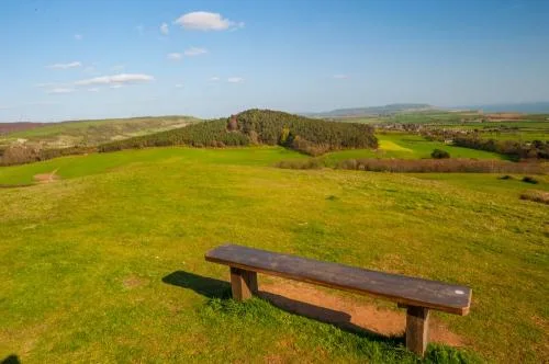
The surrounding downs are criss-crossed by footpaths, making access relatively easy. You can park at the National Trust gardens at Mottistone Manor, or on either of two small National Trust parking areas on Strawberry Lane, to the east. Castle Hill is accessible at any time.
About Castle Hill
Address: Mottistone Estate, Mottistone, Isle of Wight, England, PO30 4EB
Attraction Type: Prehistoric Site
Location: Access by footpath from the National Trust car park at Mottistone Manor, or from either of two small car parks on Strawberry Lane, to the east.
National Trust
Location
map
OS: SZ408840
Photo Credit: David Ross and Britain Express
HERITAGE
 We've 'tagged' this attraction information to help you find related historic attractions and learn more about major time periods mentioned.
Find other attractions tagged with:
Iron Age (Architecture)
NEARBY HISTORIC ATTRACTIONS
Heritage Rated from 1- 5 (low to exceptional) on historic interest
Long Stone Neolithic Burial Mound - 0.1 miles (Prehistoric Site) ![]()
Mottistone Manor Garden - 0.3 miles (Garden) ![]()
Mottistone, St Peter & St Paul Church - 0.3 miles (Historic Church) ![]()
Brook, St Mary's Church - 0.9 miles (Historic Church) ![]()
Brighstone, St Mary's Church - 1.5 miles (Historic Church) ![]()
Calbourne, All Saints Church - 1.8 miles (Historic Church) ![]()
Shorwell, St Peter's Church - 3.1 miles (Historic Church) ![]()
Shalfleet, St Michael the Archangel Church - 3.2 miles (Historic Church) ![]()
Nearest Holiday Cottages to Castle Hill:

Freshwater, Isle of Wight
Sleeps: 8
Stay from: £1,260 - £8,837


More self catering near Castle Hill