Next to the course of Dere Street are quarry pits where the Romans dug gravel to use in constructing the road.
Dere Street runs beside Soutra Aisle, the remnants of a 12th-century hospital founded by Malcolm IV that was later used as a burial aisle by the Pringle family. It is a matter of only a few minutes stroll between the two sites, and there is a common parking area for both.
OUR VISIT
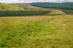
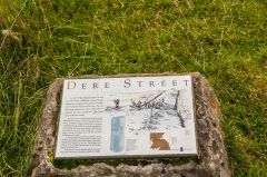
In truth, you do have to use your imagination a bit to get the most out of this site. Though an information board does a good job of explaining the layout of the road, the passage of time has meant that the contours of the road are now something of a challenge to make out clearly.

 We've 'tagged' this attraction information to help you find related historic attractions and learn more about major time periods mentioned.