Castell Blaen Llynfi is the scant late Norman ruins of a large bailey and ditch and a rubble curtain wall. The castle (also known as Blaenllynfi) was built sometime between 1208-1215, and was rebuilt in the middle of the 14th century.
The castle remains consist of a four-sided stone structure within a roughly rectangular moat, measuring approximately 78 metres by 56 metres. There appears to be an entrance at the north angle. Earthworks outside the moat suggest further unknown structures.
NOTE
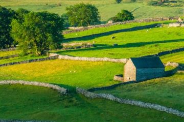
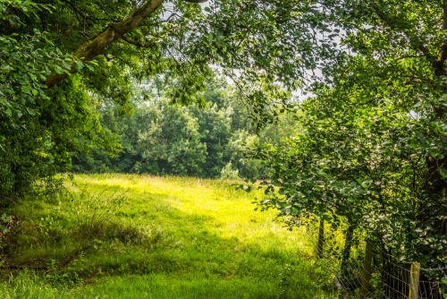
Though the castle earthworks are clearly visible on OS maps, actually seeing anything worth noting on the ground is not easy. Add to that that the castle site is on private land, with no obvious way to explore the earthworks, makes Castell Blaen Llynfi a bit of a mystery.
When our family decided to visit the ruins we pulled off the A40 at Bwlch, onto the B4560. According to our OS map the castle stands immediately beside the junction of the B4560 at a minor road leading off to the left.
There were no signs, and no obvious place to park, but we pulled off to the side of the minor road and walked back and forth along the road, hoping for a glimpse of the earthworks, but the site was so overgrown with trees and shrubs that it was very difficult to get a real sense of the site.
About Castell Blaen Llynfi
Address: Bwlch, Powys, Wales
Attraction Type: Castle
Location: Just north of Bwlch, off the B4560
Location map
OS: SO145229
Photo Credit: David Ross and Britain Express
POPULAR POSTS
HERITAGE
 We've 'tagged' this attraction information to help you find related historic attractions
and learn more about major time periods mentioned.
We've 'tagged' this attraction information to help you find related historic attractions
and learn more about major time periods mentioned.
Find other attractions tagged with:
14th century (Time Period) - castle (Architecture) - moat (Historical Reference) - Norman (Architecture)
NEARBY HISTORIC ATTRACTIONS
Heritage Rated from 1- 5 (low to exceptional) on historic interest
Pen-y-Gaer Roman Fort - 1.6 miles (Roman Site) ![]()
Tretower Castle and Court - 2.8 miles (Castle) ![]()
Llangors, St Paulinus Church - 2.9 miles (Historic Church) ![]()
Glanusk Park - 3.7 miles (Garden) ![]()
Llanywern, St Mary Church - 4.4 miles (Historic Church) ![]()
Llanfrynach, St Brynach Church - 4.7 miles (Historic Church) ![]()
Crickhowell, St Edmund's Church - 5.2 miles (Historic Church) ![]()
Crickhowell Castle - 5.3 miles (Castle) ![]()
Nearest Holiday Cottages to Castell Blaen Llynfi :

Talybont-on-Usk, Powys
Sleeps: 6
Stay from:£452 - £1,374