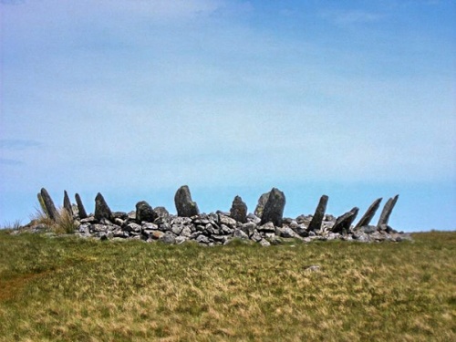
Fifteen stones survive in this cairn circle. The stones, up to 6 feet tall, spread out from the centre of the cairn like a porcupine's bristles. Access is via a 4 mile walk through marshy ground, so be sure to bring good footwear!
A Wonder of Ancient Wales
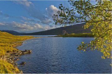
Ancient site investigator and author Aubrey Burl called Bryn Fader Caner one of the wonders of prehistoric Wales. This Bronze Age site is a combination burial mound and stone circle, situated in a remote moorland setting.
At the centre of the monument is a cairn, measuring some 28 feet across and rising just 3 feet high. Around the outside of the cairn are arranged 15 slender stone slabs, leaning outwards like a bristling wall of spears, each about 6 feet high.
What we see today is only part of the original monument. There were originally more standing stones, perhaps as many as 30, some measuring up to 6 feet in length. The site was damaged prior to WWII when the military removed some stones from the east side of the circle and used the circle for target practice.
At the centre of the cairn is a depression that suggests a cist, or grave. The hole was left by treasure-hunters in the 19th century. If there were any remains at the centre of the cairn they were removed, so we are left to speculate on what the circle and cairn might have looked like and what its purpose was.
Why the combined stone circle and cairn? Perhaps Bryn Cader Faner was a result of different traditions, brought together at one site. It probably dates to the 3rd millennium BC. The circle stands on the brow of a rise, so that as you approach from the south it is outlined against the horizon, increasing its visual impact. This must have been intentional, and the site was created to make a statement.
A good OS map and waterproof hiking boots are essential! There is a small parking on a no through road past the Maes-Y-Neuadd hotel (LL47 6YA) near Talsarnau.
About Bryn Cader Faner Cairn Circle
Address: Talsarnau, Gwynedd, Wales
Attraction Type: Prehistoric Site
Location: Off the A496, then 4 mile walk
Location map
OS: SH647 354
Photo Credit: Ruth Winter, licensed for reuse under the Creative Commons Licence
Opening Details: Open access site, usually accessible at any reasonable time
POPULAR POSTS
HERITAGE
 We've 'tagged' this attraction information to help you find related historic attractions
and learn more about major time periods mentioned.
We've 'tagged' this attraction information to help you find related historic attractions
and learn more about major time periods mentioned.
Historic Time Periods:
Find other attractions tagged with:
19th century (Time Period) - Bronze Age (Architecture) - Prehistoric (Time Period) - stone circle (Historical Reference)
NEARBY HISTORIC ATTRACTIONS
Heritage Rated from 1- 5 (low to exceptional) on historic interest
Llyn Eiddew Bach III Stone Circle - 0.6 miles (Prehistoric Site) ![]()
Llanfihangel-y-Traethau Carved Stone - 2.8 miles (Historic Church) ![]()
Plas Tan-Y-Bwlch Gardens - 3.3 miles (Garden) ![]()
Deudraeth Castle - 3.8 miles (Castle) ![]()
Tomen-y-Mur Roman Fort - 4.2 miles (Roman Site) ![]()
Plas Brondanw Gardens - 4.7 miles (Garden) ![]()
Harlech Castle - 4.8 miles (Castle) ![]()
Wern Manor Gardens - 7 miles (Garden) ![]()
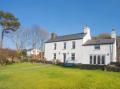
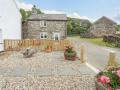
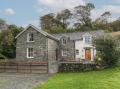
Nearest Holiday Cottages to Bryn Cader Faner Cairn Circle: