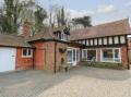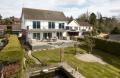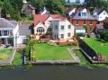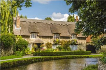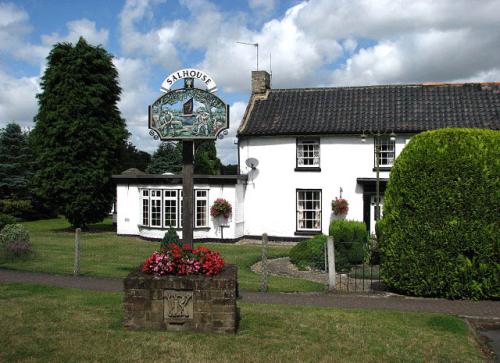
Salhouse is a small village on the edge of the Norfolk Broads, about six miles north east of Norwich. Salhouse was historically part of the manor of Wroxham, two miles to the north. The village was recorded in the Domesday Book, and for a time was held by the Archbishop of Canterbury.
In 1167 the manor was transferred to Carrow Priory, though the first record of a vicar comes from 1320.
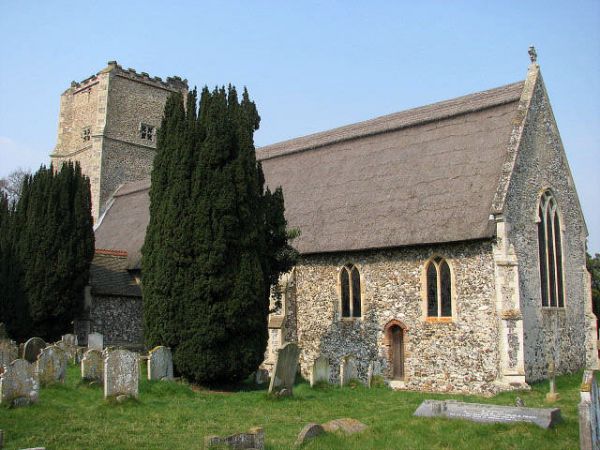
All Saints Church
The picturesque thatched parish church of All Saints is the oldest building in Salhouse, dating to the 13th century, with a squat 15th-century tower. There are two bells, one of which dates to 1441. The church retains its late medieval rood screen and a rare Sacring, or Sanctus bell, dating from the mid-16th century.
Look for a pair of 13th-century coffin lids found under the chancel floor during restoration work. The church stands in an isolated position, away from the village it serves. This odd location has led to speculation that it was built near a now-vanished manor house.
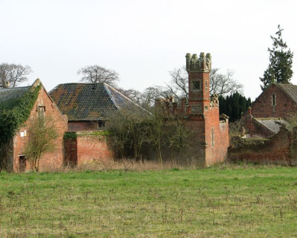
West of the church stands Salhouse Hall, an Elizabethan manor with a Victorian Gothic facade. The house dates to the middle of the 16th century, and from 1712 it was home to the Ward family, who remained until it was sold in the 1950s. Village fetes used to be held on the sweeping lawns in front of the house. Sadly, as of this writing, the Hall stands unoccupied.
On Lower Street are the Street Farm Buildings, used as an equestrian centre until the 1990s. In the stable block is an ornate clock thought to have been made by the same firm that built the clock face for the Palace of Westminster in London.
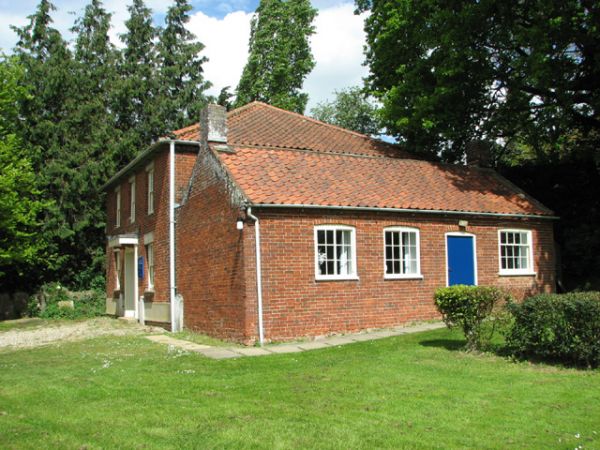
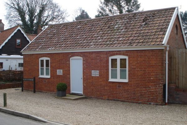
Another historic building is the Bell Inn, which dates to the 17th century. The parish Reading Room was erected in 1897 in honour of Queen Victoria's Diamond Jubilee. It was later a Women's Institute and social club but is now a private dwelling. Another historic building is the Baptist church, built in 1902.
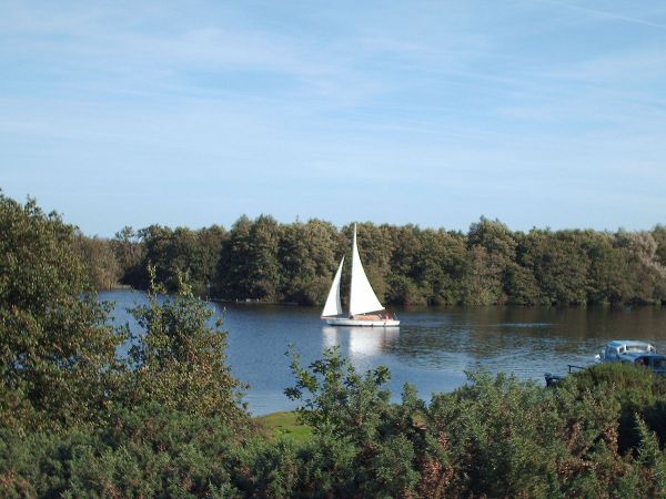
Nearby Salhouse Broad was formed by gravel mining during the Saxon era. The Broad and much of the village is part of a designated Conservation Area, and the Broad is a haven for wildlife and offers the opportunity for water recreation.
More Photos
About Salhouse
Address: Salhouse, Norfolk, England
Attraction Type: Village
Location: 2 miles south of Wroxham on the B1140
Location map
OS: TG306142
Photo Credit: Evelyn Simak, licensed for reuse under the Creative Commons Licence
HERITAGE
 We've 'tagged' this attraction information to help you find related historic attractions
and learn more about major time periods mentioned.
We've 'tagged' this attraction information to help you find related historic attractions
and learn more about major time periods mentioned.
Historic Time Periods:
Find other attractions tagged with:
13th century (Time Period) - 15th century (Time Period) - 16th century (Time Period) - 17th century (Time Period) - 6th century (Time Period) - 7th century (Time Period) - Domesday Book (Historical Reference) - Elizabethan (Architecture) - London () - Medieval (Time Period) - Queen Victoria (Person) - Restoration (Historical Reference) - Saxon (Time Period) - Victorian (Time Period) - Victorian Gothic (Architecture)
NEARBY HISTORIC ATTRACTIONS
Heritage Rated from 1- 5 (low to exceptional) on historic interest
Salhouse, All Saints Church - 0.5 miles (Historic Church) 
Wroxham, St Mary's Church - 2.1 miles (Historic Church) 
Hoveton, St John's Church - 2.4 miles (Historic Church)
Panxworth Church Tower - 2.6 miles (Historic Church)
Ranworth, St Helen's Church - 3.1 miles (Historic Church) 
Hoveton, St Peter's Church - 3.3 miles (Historic Church)
Horning, St Benedict's Church - 3.3 miles (Historic Church)
Hemblington, All Saints Church - 3.4 miles (Historic Church)
Nearest Holiday Cottages to Salhouse: