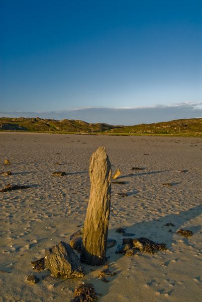
This is an area of superb natural beauty. At the Colonsay end of The Strand is a standing stone at Garvard and to the east, a rocky outcrop known as Hangman's Rock, used as a gallows in times gone by.
There is a road of sorts on the Oronsay end of The Strand, and this leads directly to the ruins of the medieval monastery of Oronsay Priory.
Overlooking The Strand to the east is Beinn Eibhne, where you will find an overhanging rock known as the Hangman's Rock for its use as a site for public hangings.
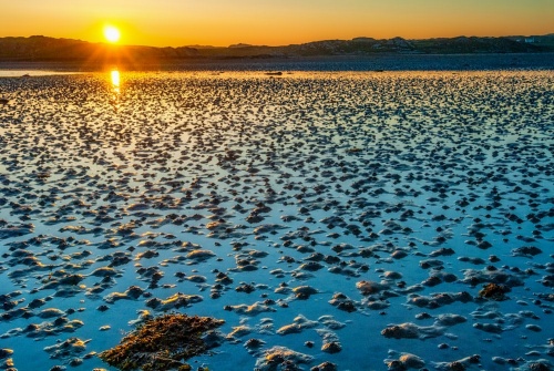
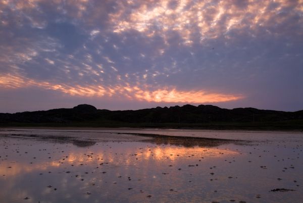
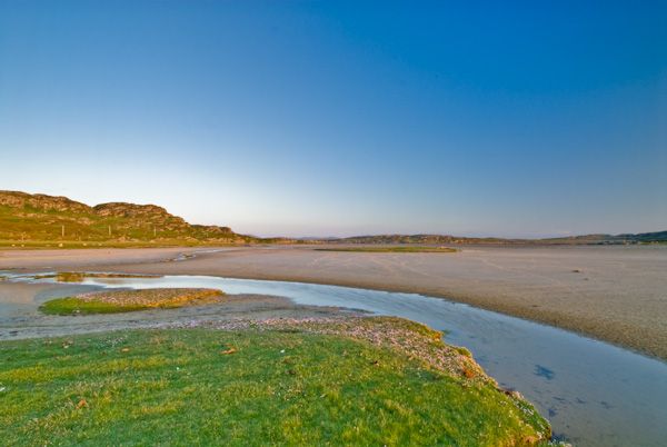
It takes a good 15 to 25 minutes to cross The Strand from end to end, and though it may look dry when the tide is out, trust me, it isn't! A wise person would take rubber boots for the crossing.
It would also be a good idea to check the tide timetable before setting out. A copy can usually be found in the window of the ferry terminal at Scalasaig.


 We've 'tagged' this attraction information to help you find related historic attractions and learn more about major time periods mentioned.