The low foundations of a fort can still be seen on an island in a small loch near the northern tip of North Uist. The name of the fort tells something of its history; Dun Aonghais translates as Angus's Fort, and it was here that a man named Aonghas Fionn (Angus the Fair) lived around 1516-20.
The dun itself is older, possibly dating to the Iron Age or perhaps even earlier.
The dun occupies the entire island, which is roughly 31m in diameter and circular in shape. You can still see remains of a causeway linking the island to the nearest shore, and an entrance on the north-west side.
There is little enough to see beyond very low foundation walls of two buildings within the outer wall. The largest is 12m x 3.6m and is aligned on a north-south axis.
Dun Aonghais is easily visible from the main road, but there is no access to the island unless you happen to have a boat handy!
About Dun Aonghais
Address: A865, Solas, North Uist, Western Isles, Scotland, HS6 5BW
Attraction Type: Historic Building
Location: On the A865 just west of the B893 junction at the northern end of North Uist
Website: Dun Aonghais
Location map
OS: NF856738
Photo Credit: David Ross and Britain Express
Opening Details: Open access site, usually accessible at any reasonable time
POPULAR POSTS
HERITAGE
 We've 'tagged' this attraction information to help you find related historic attractions
and learn more about major time periods mentioned.
We've 'tagged' this attraction information to help you find related historic attractions
and learn more about major time periods mentioned.
Find other attractions tagged with:
Iron Age (Architecture)
NEARBY HISTORIC ATTRACTIONS
Heritage Rated from 1- 5 (low to exceptional) on historic interest
Dun an Sticir - 3.5 miles (Historic Building) ![]()
Barpa Langass Chambered Cairn - 5.1 miles (Prehistoric Site) ![]()
Beinn a' Charra Standing Stone - 5.2 miles (Prehistoric Site) ![]()
Pobull Fhinn Stone Circle - 5.5 miles (Prehistoric Site) ![]()
South Clettreval Chambered Cairn - 6.8 miles (Prehistoric Site) ![]()
Telford Church - 6.9 miles (Historic Church) ![]()
Scolpaig Tower - 7.8 miles (Historic Building) ![]()
Kilphedder Cross - 8 miles (Historic Church) ![]()
Nearest Holiday Cottages to Dun Aonghais:
Nearby accommodation is calculated 'as the crow flies' from Dun Aonghais. 'Nearest' may involve a long drive up and down glens or, if you are near the coast, may include a ferry ride! Please check the property map to make sure the location is right for you.

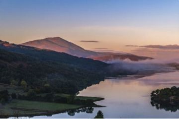
Lochmaddy, Highlands and Islands
Sleeps: 12
Stay from:£2,064 - £9,178
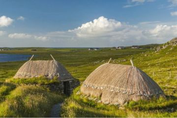
Lochmaddy, Highlands and Islands
Sleeps: 12
Stay from:£2,609 - £6,034

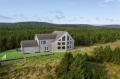
Glendale, Highlands and Islands
Sleeps: 4
Stay from:£965 - £2,684