Extensive earthwork remains of a 1st-century Iron Age fort established by the Brigantes tribe. The site was not purely defensive but was used as a trading centre and administrative capital for the Brigantes. Excavations have found Brigantian and Samian pottery, as well as Iron Age weapons, and a skull.
The earthworks cover a huge area, enclosing 850 acres. The site was built in at least three phases, beginning in the mid 1st century. Around 50 AD the site was enlarged to take in 130 acres, with space for livestock to be kept within the earthworks.
Within a few decades, the site was enlarged once more, but that work was never finished, perhaps due to the Roman advance into Brigantian territory in 71 AD. The completed defences stretch four miles.
The Brigantes were the most powerful tribe in northern Britain during the early Roman period, and for a time they were strong enough to withstand Roman pressure from the south. After the final victory of the Romans, the Brigantes moved their tribal capital to Aldborough.
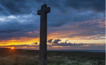
Within the earthworks of the camp stands the very nice redundant 13th-century church of St John's with a 9th-century Saxon cross shaft and other Saxon remains.
Visiting
I found it quite difficult to find the path leading to the fort; it wasn't very well signposted from the surrounding roads and I drove back and forth for quite a while before I finally discovered the site at the eastern edge of Forcett hamlet.
There is no parking area, and only a small signpost, half-hidden by the foliage that disguises the entrance. I do hope English Heritage can improve signage if they really want people to enjoy the site!
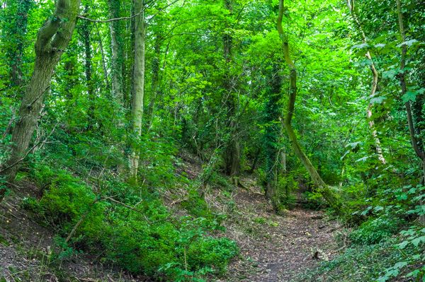
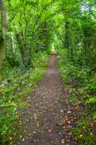
From the gated entrance to the site a trail leads through a heavily treed area, directly onto the top of the earthworks, though at first, you don't realize you've arrived at the fort!
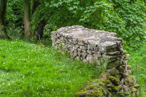
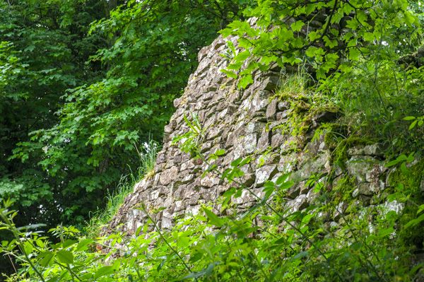
A walk of 5-10 minutes brings you to the remains of a stone-walled area; the best-preserved evidence of the defences. The walled section is quite small, and again, not well signed, so you really are left to your own devices to imagine how the site might have looked in its heyday.
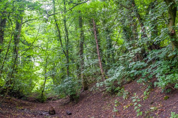
I found the best way to really appreciate the fort was to clamber down into the ditch and walk along the bottom, with the earthwork banks rising on either side of me. It was then that it really sank in what an extraordinary achievement of time and energy it was to create the huge enclosure.
More Photos

About Stanwick Iron Age Fort
Address: Forcett, Yorkshire, England, DL11 7RU
Attraction Type: Prehistoric Site
Location: In Forcett village, on a minor road off the A6274
Website: Stanwick Iron Age Fort
English Heritage - see also: English Heritage memberships (official website)
Location map
OS: NZ179122
Photo Credit: David Ross and Britain Express
Opening Details: Open access site, usually accessible at any reasonable time
HERITAGE
 We've 'tagged' this attraction information to help you find related historic attractions
and learn more about major time periods mentioned.
We've 'tagged' this attraction information to help you find related historic attractions
and learn more about major time periods mentioned.
Historic Time Periods:
Find other attractions tagged with:
13th century (Time Period) - 1st century (Time Period) - 9th century (Time Period) - Iron Age (Architecture) - Roman (Time Period) - Saxon (Time Period)
NEARBY HISTORIC ATTRACTIONS
Heritage Rated from 1- 5 (low to exceptional) on historic interest
Stanwick. St John's Church - 0.6 miles (Historic Church) 
Piercebridge Roman Fort and Bridge - 3 miles (Roman Site) 
Staindrop, St Mary's Church - 6 miles (Historic Church) 
Rokeby Park - 6.1 miles (Historic House)
Moulton Hall - 6.5 miles (Historic Building)
Darlington Friends Meeting House - 6.8 miles (Historic Church)
Richmond, St Marys Church - 7 miles (Historic Church)
Raby Castle - 7 miles (Castle)
Nearest Holiday Cottages to Stanwick Iron Age Fort:

Gainford, County Durham
Sleeps: 12
Stay from:£1,044 - £4,764