Ettrick Bay is a beautiful coastal bay with a broad, sandy beach, located on the less-populated west coast of Bute, about 2.5 miles (4km) from Rothesay by car. The bay stretches for one mile (2.2km) in a north/south direction and is separated from the Cowal peninsula to the west by the Kyles of Bute channel.
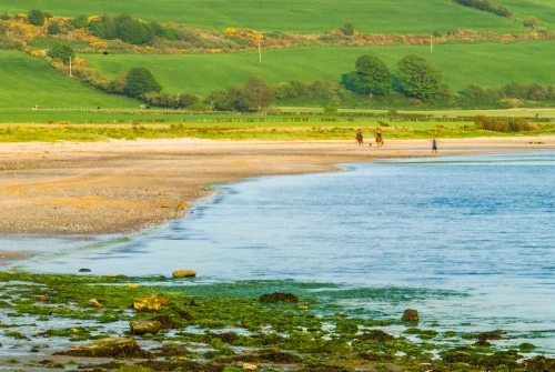
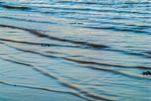
The shore that lines Ettrick Bay has a shingle foreshore leading down to a wide, sandy beach where you can sometimes see horseback riders exercising their mounts. The beach is very popular with visitors and locals alike. The water is clear and clean, and is regularly monitored.
The high water mark can be as much as 1,600 feet (500m) from the water at low tide.
The bay and beach were used in training exercises for the D-Day landings in 1944. You can still see concrete frames used by the British army during the training exercises near the bridge over Glenmore Burn.
Near the northern end of the bay is the Ettrick Bay Tea Room, offering refreshments, toilets, a children's play area, and a picnic area as well as a small campsite.
Aside from the tea room, there are several lay-bys along the bay offering easy, free parking.
At the southern end of Ettrick Bay is a bird hide, offering a protected view of water birds and waders.
Immediately east of Ettrick Bay is St Colmac's Church, a redundant Victorian Gothic church. Between the church and the bay is St Colmac's Stone Circle (sometimes known as the Ettrick Bay Stone Circle), a setting of seven stones in a circle with an eighth stone outside the ring to the south.
To the north, a minor road leads up the coast to Glecknabae, where trails lead to prehistoric burial cairns at Cairnbaan and Kilmichael. Near the Kilmichael cairn is an early Christian chapel thought to date to the 6th century.
Be aware that there are no visitor facilities at Ettrick Bay (beyond the tearoom), but it is one of our favourite places to relax and enjoy nature on Bute.
Getting There
You can reach Ettrick Bay on the B875 (northern end) or A844 (southern end) from Rothesay.
About Ettrick Bay
Address: A844, Rothesay, Bute, Argyll and Bute, Scotland
Attraction Type: Countryside
Location: 2.5 miles (4km) west of Rothesay off the A844 or B875. Numerous parking areas.
Website: Ettrick Bay
Location map
OS: NS039660
Photo Credit: David Ross and Britain Express
Deprecated: stripos(): Passing null to parameter #1 ($haystack) of type string is deprecated in /home/u912669801/domains/britainexpress.com/public_html/includes/Static-Template.htm on line 594
NEARBY HISTORIC ATTRACTIONS
Heritage Rated from 1- 5 (low to exceptional) on historic interest
St Colmac Cottages Stone Circle - 0.6 miles (Prehistoric Site) ![]()
St Colmac's Church - 1.2 miles (Historic Church) ![]()
Bute Museum - 2.1 miles (Museum) ![]()
Craigberoch Standing Stone - 2.6 miles (Prehistoric Site) ![]()
St Ninian's Bay Standing Stones - 2.6 miles (Prehistoric Site) ![]()
Cairnbaan Chambered Cairn - 2.9 miles (Prehistoric Site) ![]()
St Ninian's Chapel - 2.9 miles (Historic Church) ![]()
Rothesay's Victorian Toilets - 3.1 miles (Historic Building) ![]()
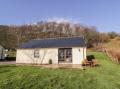
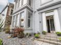
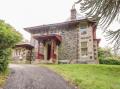
Nearest Holiday Cottages to Ettrick Bay:
Nearby accommodation is calculated 'as the crow flies' from Ettrick Bay. 'Nearest' may involve a long drive up and down glens or, if you are near the coast, may include a ferry ride! Please check the property map to make sure the location is right for you.